Pages

WHAT IS ADVENTURE RACING?

WHAT IS ADVENTURE RACING?

Adventure racing is an endurance sport which involves travel on foot (trekking or running), mountain bike and by water (canoe, kayak, raft, occasionally swimming).

What differentiates AR from other racing sports is the inclusion of wilderness navigation using a map, compass and common sense. There is no set race course; participants must find their own route from one checkpoint to the next. The checkpoints (CPs) are marked on maps which the racers receive shortly prior to or at the start of the race. AR also differs from other sports in that racers are part of a team of 2-4 people who travel together the entire time.

The races can last from several hours to many days and are unsupported, for the most part, which means that the racers carry what they will need (food, water, gear) in backpacks for the duration of the race.

To succeed, racers will need athletic endurance, navigation skills, mental toughness, good pre-race planning, strategic decision making as well as a strong and supportive "team" mentality.

Sound intimidating? While it's true that longer races can test even the toughest outdoor athletes, AR is a very open and inclusive sport. Beginning racers will feel welcome at nearly every event. Most races are organized so that anyone at any level of experience and fitness can participate.

Tuesday, June 19, 2018

Maine Summer Adventure Race 24 hr, Strong Machine Adventure Racing

This was my 3rd trip north to do the Maine Summer Adventure race organized by our friends at Strong Machine. The 2016 version was an 8-hour race that Mason did with son, Reed.  The 2017 offering was a 10-hour affair we returned for. This year's 24-hour race, like the others, was based out of Hidden Valley Nature Center in Jefferson, ME and featured a Rob and Mason 2-man team. Rob had just come down with a cold but was going to tough it out.

I suffer like a dog (where does that saying come from?) in hot, humid weather so I had been anxiously watching the forecast leading up to the race. It initially looked pretty good but the forecast temps kept creeping up over the course of the week, with some increasing humidity, as I assumed it would. We had just come off a week-long stretch of crisp dry weather and cool clear nights, but I should know that race days will never fall on those kind of days.

So much suffering...
We began at 10:00 AM with a foot navigation stage at HVNC. There were 5 mapped checkpoints (CPs) plus 3 more whose location was revealed on a small map at one of the 5 CPs (which one?)  You could get the 5 CPs in any order, which was a great way to spread the teams out. We started clicking through the CPs and found the 1st map at the 2nd CP, which sent us off to the 3 unrevealed CPs. Unfortunately one of these flags was in the wrong place which led to a big logjam, as teams rolled into the mapped location and fruitlessly searched the area. This was unfortunate but did provide an informal multi-team powwow in the woods. After reaching a consensus that the CP was not there, we gradually dispersed and moved on to the rest of the CPs, which we found without much trouble.


This trekking loop ended back at the HVNC. Concerningly, I had gone through > 1L of water on this 7.5 mi trek despite cooler morning temps. We refilled some water and headed out on the first bike leg which took us on trails out of HVNC and north onto some Maine back roads 17.5 mi to another trekking loop in the Southern Garcelon.  This was a large patch of forest featuring typical New England fare of marshes, little hills and rocky doubletrack trails (ATV/snowmobile - type). After transitioning back to foot mode we headed out. We got off to a pretty solid start, checking off the first 7 CPs over the course of 5 miles of on- and off-trail hiking/jogging.


At this point, it was late afternoon and temps were maxed out. There was also the issue of bugs. The ticks and deer flies were very bad. However, the mosquito situation made the ticks and deer flies seem like a minor annoyance, especially as dusk approached. This was a close second to the worst bugs we've experienced (the worst). As we approached our 7th CP of this leg, which was on the edge of a pond (thank you Strong Machine!), I was craving a quick dip in the water and a water bladder refill. This was a scenic spot and gave us a nice quick respite from the tough conditions which had been provided by nature.

Wellman Pond. An oasis in a hot mosquito hellhole.
Sadly, this was a race and it was quickly time to leave the pond and get some more CPs in the woods, as there were 14 total on this leg. We left this CP with Joe Brautigam and trekked together for a bit before Mason unwisely decided that we should deviate from Joe's route to the next CP. I'll just summarize the rest of this leg:  2 hr 45 min, hundreds of mosquito bites, heavy losses of fluids and electrolytes, 6 miles of trekking/fleeing, and...1 checkpoint found. It was one of those legs that make me wonder why I do this and also puts me in recovery mode (body and morale) for hours afterward.

Following this, I was really looking forward to getting back on the bikes, where there aren't any mosquitoes. We soon passed the 2-man GOALS team who were roadside having tire/tube sidewall issues, and donated a tube to their cause. The bike leg took us back to small roads and was nice for a while but, having run out of water hours ago and eating minimally, I was soon falling off Rob's mercifully conservative pace and getting dropped on every hill. We kept our eyes open and soon spied a couple guys outside at a house who hospitably obliged water bladder refills at the hose. After the usual "what exactly is it that are you doing" conversation we were back on quiet roads and, soon, onto some snowmobile-type trails to get 3 on-trail CPs through unremarkable terrain. Wildlife sighting: Rob flushing a roadside hawk with chipmunk in talons; it couldn't outrun Rob's bike so it had to drop the chipmunk, who scurried away.

Next was another short road ride into the state capital Augusta, which is actually a fairly small town. Despite the recent water refill, I was still in bonk mode and urgently directed us to a McDonalds just off the route where we sacrificed some time to get some additional hydration and substantial calories. Side note: sometime during the last 12-15 years, McDonalds milkshakes became sickly sweet - we had to throw it away.

Looking rough pre-calorie rally.
After a solid hill climb up through residential Augusta, we arrived at the Bond Brook park. There is a knot of twisty rocky singletrack here. There was an enduro race at the park earlier that day (it was 10 PM now). There was supposed to be a taped-off race course with 4 obvious (and therefore unmapped) CPs to find along the way, which sounds fun. Unfortunately, when we got there, the tape had been taken down, it was full dark and we were having trouble determining our location on the convoluted park trail map. We kept re-riding sections and accidentally exiting the trail system into neighboring areas. After 45 minutes of noodling around we hadn't found any CPs but had found the bottom of the hill that led to the park (again). Even though getting at least 2 of the 4 CPs was "mandatory" for final ranking, we decided to cut our losses and move on to the next section.

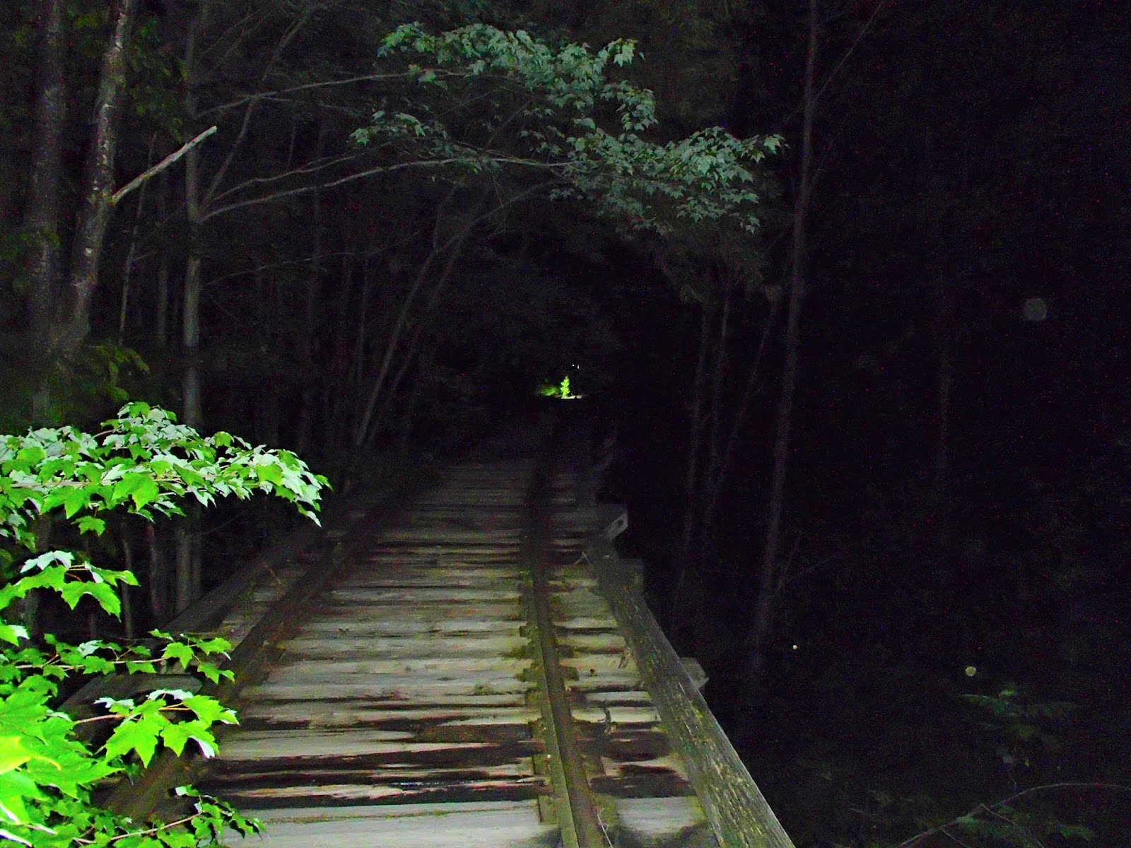
We whipped downhill to the river and then onto the Kennebec rail trail for some speedy southern riding, picking up a couple CPs on the way to the next TA.  We visited a couple nice-looking riverside towns, including Hallowell, which had a hopping bar scene happening on a warm Saturday midnight and then into Gardiner, where we left our bikes for a quick 5CP urban-O on foot around the sleeping town. This included an interesting rail trestle bridge crossing (inactive, so no Stand By Me moments).


Following the town-O, we boarded canoes for an 11-mile paddle down the flat Kennebec River in the middle of the night. With the McDonalds, pleasant town-O and cool nighttime temps, I was feeling good again and generally enjoyed the calm quiet paddle. Quiet, that is, except for the occasional giant splash from jumping Atlantic Sturgeon (fun facts here).  We passed a number of teams along the way and hit the 2 CPs along the way without issue. As we neared the take-out TA site in Richmond, a lovely sunrise was in full effect, reflecting orange, yellows and purples off the placid river.

After a riverside check-in in Richmond, we paddled 2 minutes out to Swan Island, an ~ 1x4 mile island in the Kennebec. There were about 20 CPs to be found here. The island was forested but had seen extensive logging recently and also had a lot of scratchy invasive undergrowth. Fortunately the bugs were only at the "annoying" level in the early morning hours. We had to closely watch our time on the island because there was still a 15 mile ride to finish that we needed to allow for. We did fairly well here, grabbing another 7 CPs before running back to the canoe. Wildlife sighting: fawn scooting across the trail in front of us.

High tide at CP 34
Early morning beaver pond


After the quick canoe trip back to shore, we were back on bikes to the finish line, finding 2 easy CPs over the 1:15 trip to the finish line, with plenty of time to spare.

The food at the finish line was fantastic: blueberry pancakes, local maple syrup, sausages and fresh fruit hit the spot. The top finish went to the surging Rootstock Racing team, with Untamed New England as a close second. We did not have a good race, but are certainly grateful for the work put in by the organizers and volunteers. I'm sure we'll be back.

No comments:

Post a Comment